


Welcome to Sydney Surveyor Solutions. We are experts in Land surveying in Sydney. If you are looking to subdivide land, you must include a preliminary subdivision plan, produced by a surveyor, with your development application to your local council for approval if your proposal entails the subdivision of land. We can assist with the whole process!
Our most valuable resource is our workforce. Our personnel is always receiving training and having their skill set expanded so they can give our clients the finest service possible.
Sydney Surveyor Solutions provide a wide range of services throughout Sydney and NSW, including building surveys, boundary surveys, cadastral surveys, and more.
Land surveyors may make the difference between knowing where your property border is and making an error that might cost you a lot of money in penalties or legal fees, whether you’re planning to buy, sell, or develop commercial or residential property. You can be sure that you are getting the best service possible for your money because all of our services are reasonably priced and our staff of land surveyors has received considerable training and certification.
We are a contemporary, multi-purpose survey company that works with residential, commercial, and civil clients.
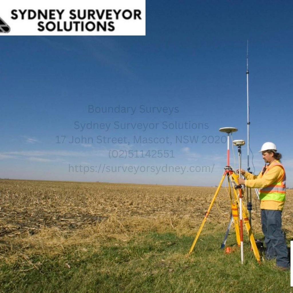
The placement of existing fences does not define a property’s borders. Using information gathered during the site visit, State Survey Marks, and pre-existing survey plans recorded with Land Registry Services, a Registered Surveyor will calculate the position of the borders. A boundary survey will be carried out by the registered surveyor, who will also give a signed sketch and physically mark the borders’ locations.
The Land Surveys site team has made a significant contribution to the creation of secure and affordable design solutions to numerous challenging problems.
Our surveyors offer a variety of specialised services, including laser scanning, mining services, land development, aerial, engineering, and hydrographic surveys, as well as management and analysis of spatial data. Utility mapping, concrete scanning, dilapidation surveys, and monitoring are some of the surveying and scanning services offered.
This kind of survey is also known as a topographical or contour survey. The aim of this survey is to map out all the natural physical characteristics and man-made constructions within and surrounding a lot and to take levels over the land, as the name of the project suggests.
Our employees are SSS’s most valued resource. With a variety of backgrounds, viewpoints, and life experiences, our culture is one that promotes and supports staff members as they pursue their professional aspirations.
To make sure that the proposed works are constructed in line with the authorised architectural designs, pegout surveys are essential. The surveyor calculates the architectural blueprints and installs physical markers on the site, which are then used by trades to construct the works using the most recent surveying technology.
Our land surveyors let you know where any easements that may have an impact on your design process are located on the property, as well as any encroachments made by other properties that might have an impact on your plans for the property. In other words, make sure you have all the data you require to decide wisely and profitably.
Even while it’s not required, many developers value the distinctive perspective they may get by using a 3D model.
Our goal at Sydney Surveyor Solutions is to be the first and finest survey option for contractors throughout Australia as infrastructure projects continue to be implemented.


Map
Sorry, no records were found. Please adjust your search criteria and try again.
Sorry, unable to load the Maps API.